This post contains affiliate links. We may earn a small commission at no extra cost to you.
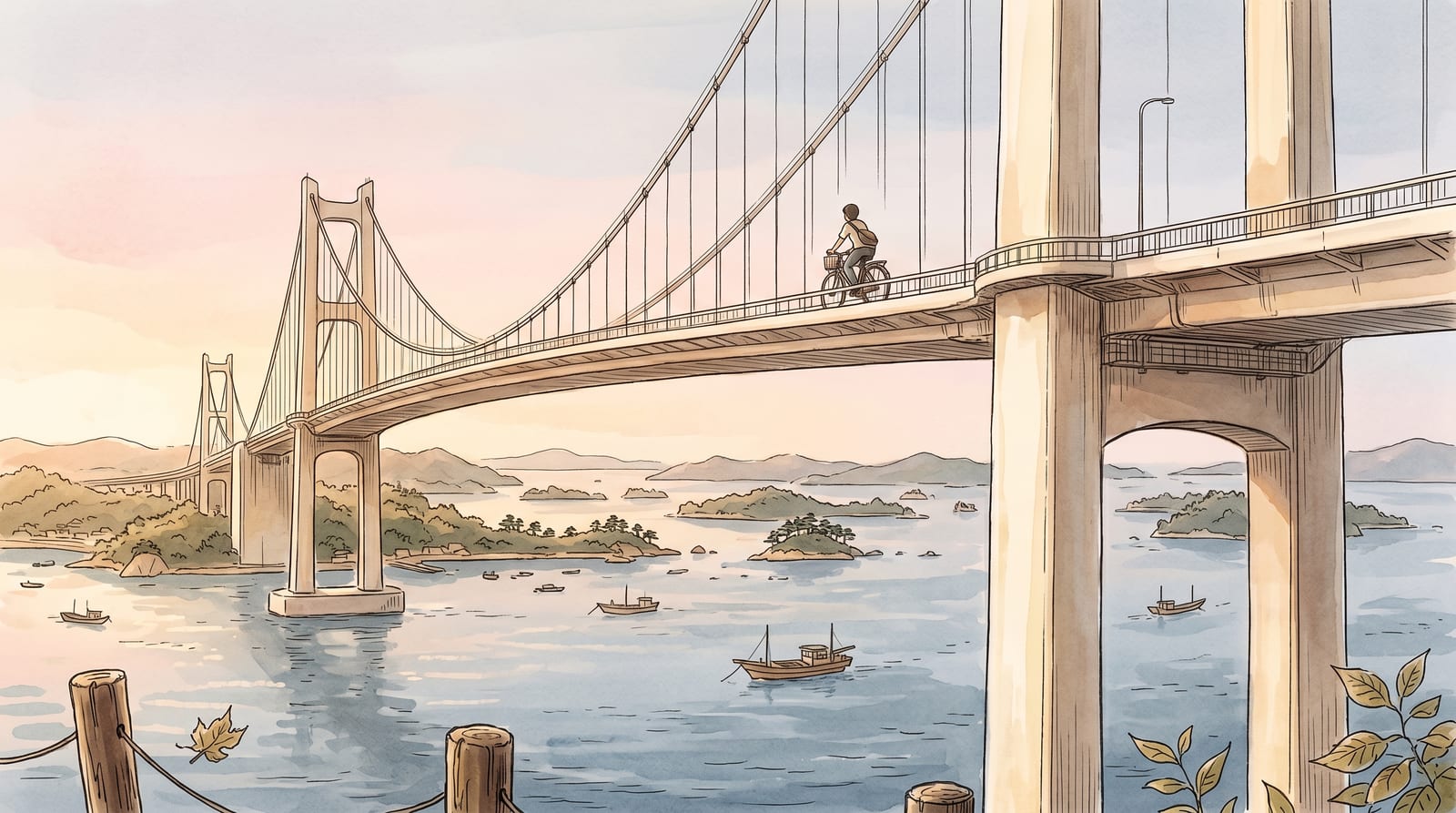
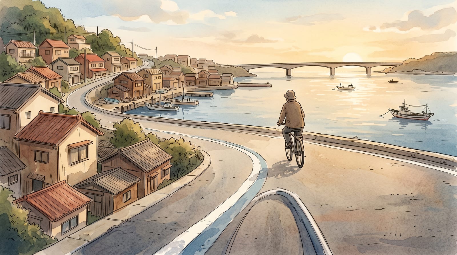
The handlebars are damp with sea fog when you roll off the Akinada Ohashi. Below the railing, a pair of fishing skiffs sit perfectly still on water the color of pewter. There is no engine sound, no horn, no roar — just the click of a freewheel and the smell of salt and low tide. On the Shimanami Kaido, forty kilometers to the east, riders are already lining up at the rental counter. Out here, the road is yours.
The Akinada-Tobishima Kaido is not a secret. It has a painted blue line and a rental shop at the trailhead. But English guides are nearly nonexistent, and the rider counts reflect it: on weekdays you may cover whole islands without passing another cyclist. The route begins at Kawajiri (on the JR Kure Line, about an hour from Hiroshima Station) and hops seven islands westward through Hiroshima and Ehime prefectures, ending at Okamura Island where a ferry picks up the slack to Imabari. For anyone who has already ridden or read about Shimanami, this is the answer to the question: what would it have been like before it got famous?
We rode the route in June 2026 on a standard rental bike, covering the core 30 km over about five hours including stops. Here is what the logistics actually look like and what to expect on each stretch.
What is the Tobishima Kaido and how does it compare to Shimanami?
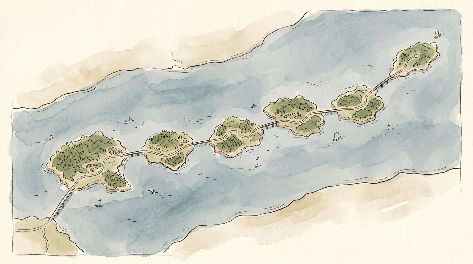
The Akinada-Tobishima Kaido (安芸灘とびしま海道) is a cycling and driving route that connects the mainland at Kawajiri, in Kure City, Hiroshima, to Okamura Island in what is now Imabari City, Ehime, by crossing seven islands via seven bridges. The route runs roughly 30-31 km on the shortest blue-line path, or roughly 50 km if you ride the full chain of islands.
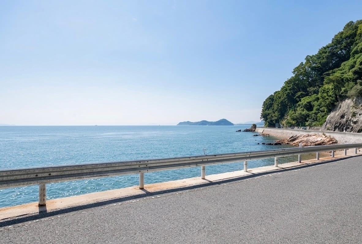
The Shimanami Kaido, which links Onomichi to Imabari over 70 km, is one of the most written-about cycling routes in Japan. The Tobishima Kaido is its western neighbor and its temperamental opposite. Where Shimanami has purpose-built cycle paths and staffed rest stops, Tobishima has low seawalls, fishing villages, a single traffic light across the whole route, and almost no English signage beyond the blue road marking. The roads follow the coast closely enough that you are often riding within arm's reach of the Seto Inland Sea.
This matters practically as well as aesthetically. Because the route is much quieter, in both traffic and visitors, it is easier to stop, turn around, and find a patch of wall to lean a bike against without managing other riders or tour groups. The trade-off is thinner infrastructure: fewer rentals, fewer cafes, fewer English speakers on the islands.
How do I get to the Tobishima Kaido start point from Hiroshima?
The entry point for the route is Kawajiri, on the Hiroshima Prefecture coast. The nearest train station is Aki-Kawajiri Station. The important detail is the "Aki-" prefix. There is a Kawajiri Station on a different line in a different prefecture; putting "Kawajiri" without the prefix into a route planner can send you to the wrong place.
By train from Hiroshima (recommended)
Take the JR Kure Line from Hiroshima Station toward Kure and continue past Kure to Aki-Kawajiri. Direct local trains run the whole way with no transfer; the faster Aki-ji Liner rapid skips Aki-Kawajiri, so if you board it, change to a local train at Hiro. The journey takes about 1 hour and the IC-card fare is about ¥770 each way. Trains run regularly through the day, with frequency dropping in the late afternoon. Aki-Kawajiri is a few stops beyond Kure Station on the same line, so you can also break the trip into two legs if you want to stop in Kure first.
A JR Pass is not worth it for the Hiroshima–Aki-Kawajiri ride alone — the single IC fare is about ¥770 each way, and the Pass never recovers its cost on this corridor in isolation. If Tobishima is part of a wider Japan trip that already includes Shinkansen travel, Japan Rail Pass may still be the most economical way to bundle those longer legs.
By car
Driving is possible, but the islands' roads are narrow, and dropping a car at the trailhead while you cycle the one-way route creates a retrieval problem unless you arrange a return ferry or a second car. Most non-Japanese visitors take the train. If you do drive, the official listing notes free parking at Cottage Kajigahama by the trailhead.
Connecting from Kure
If you are already spending time in Kure (at the Yamato Museum, the naval curry restaurants, or on the harbor cruise), Aki-Kawajiri is a few stops further east on the same JR Kure Line. You can combine a morning in Kure with an afternoon on the islands if you take the e-bike option and limit yourself to the first two or three islands rather than the full route. For full transport details from Hiroshima into Kure, see our Hiroshima to Kure day trip guide.
Where do I rent a bike?
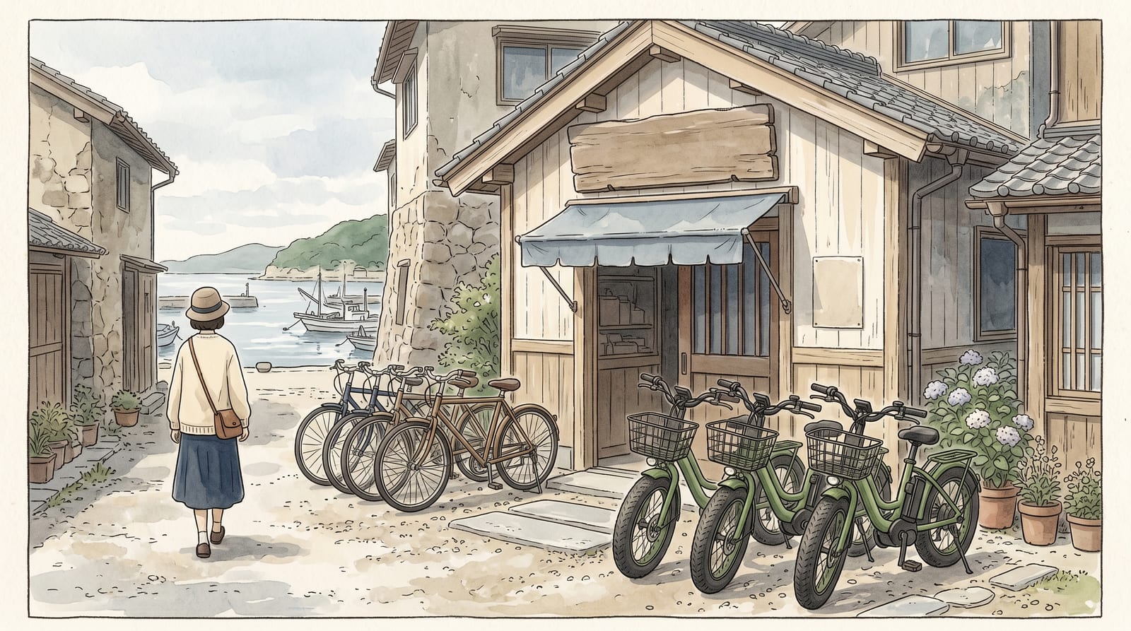
The main rental point at the Kawajiri trailhead is Cottage Kajigahama, operated by Bilux. The rates verified against the official listing are:
| Duration | E-bike | Adult standard | Child | |---|---|---|---| | 3 hours | ¥1,500 | ¥1,000 | ¥500 | | 8 hours | ¥3,000 | ¥2,000 | ¥1,000 |
Rentals include a helmet, bottle cage, and chain lock.
Cottage Kajigahama also offers a bike drop-off and delivery service if you want to ride one way (Kawajiri to Okamura, then ferry to Imabari) rather than turning back. The fee is ¥2,000 for up to 3 bikes or ¥4,000 for up to 6 bikes. Advance reservation is required for the drop-off service.
Two things matter for planning. First, bikes must be returned by 5pm, so work backwards from that when you set out. The full route to Okamura and back is not a late-afternoon start. Second, the official rental wants you to reserve at least three days ahead through its online form; inside three days, phone 080-2927-2504 directly. Foreign visitors should note that you sign a short declaration and show a passport at pickup. The shop is closed January 1-3 and December 29-31.
E-bikes are worth considering seriously. The road is largely flat, but the bridge ramps add brief climbs, and the Seto Inland Sea headwind on west-facing stretches can be persistent. On a standard bike the full 30 km takes a fit rider about 3-4 hours of pedaling; an e-bike cuts that to 2-3 hours, leaving more time for the stretches worth pausing at.
What is the route like? The 7 islands in order
Photograph: Masayuki Ogasahara / kure-japan.com
The blue line on the road is the navigation system. Follow it from the trailhead and it will carry you across all seven bridges without needing a map app. Mobile signal drops on a few island interiors, so download offline maps before you leave: Google Maps works adequately, Komoot handles the terrain better. If your phone plan does not include Japan data, pick up a Klook Japan eSIM eSIM before the trip, or sort out a local SIM at Hiroshima Station.
The seven islands, in order from the mainland, are Shimokamagari (下蒲刈島), Kamikamagari (上蒲刈島), Toyoshima (豊島) and Osaki Shimojima (大崎下島), then the two small uninhabited islets Heirajima (平羅島) and Nakanoshima (中の島), and finally Okamura (岡村島). The character changes noticeably as you move further from the mainland.
Shimokamagari Island (下蒲刈島): the first crossing
The Akinada Ohashi, 1,175 meters long and opened in 2000, is the opening statement of the route. It is technically a toll road for cars (¥730 standard / ¥570 kei and motorbikes), but cyclists and pedestrians cross free. The bridge is open 24 hours. The view from the middle spans both the Aki-nada channel and a string of forested islands to the southwest. On a clear morning this is the photograph most people attempt.
Shimokamagari has the route's only traffic light, at Mitoshiro. This is not a complaint — it is a data point that summarises the whole route. On the Shimanami Kaido you are never far from a staffed rest stop; here, that single red light is genuinely the exception.
The quietness extends beyond traffic. A short detour into the Sannose (三之瀬) district rewards the stop. The Shōtōen (松濤園) garden complex houses a cluster of exhibition halls, the most substantive being the Gochisō Ichiban-kan (御馳走一番館), dedicated to the Edo-period Korean diplomatic missions (朝鮮通信使). Of the 12 missions Korea sent to Edo during the Edo period, 11 lodged at Sannose. For each reception, the domain laid red felt (緋毛氈) from the pier to the lodgings, positioned approximately 100 gold folding screens, and mobilized roughly 1,200 people per reception at a cost historians describe as a fortune for the domain. The envoys' own records rated the food here "安芸蒲刈御馳走一番" — Aki-Kamagari, hospitality number one. That is a documented piece of diplomatic history sitting on the very first island of the route. The signs at the gate are in Japanese only; most cyclists ride past without turning in. The Shōtōen complex also includes a reconstructed inspection station (御番所) and a garden.
Shōtōen is open 09:00–17:00 (last entry 16:30), closed Tuesdays (Wednesday if Tuesday falls on a national holiday). Admission is ¥800 for adults, ¥480 for high school students, and ¥320 for elementary and middle school students; Kure City residents and students from Kure City schools enter free. Allow 30-40 minutes if you stop.
Kamikamagari and the quiet middle (上蒲刈島, 豊島)
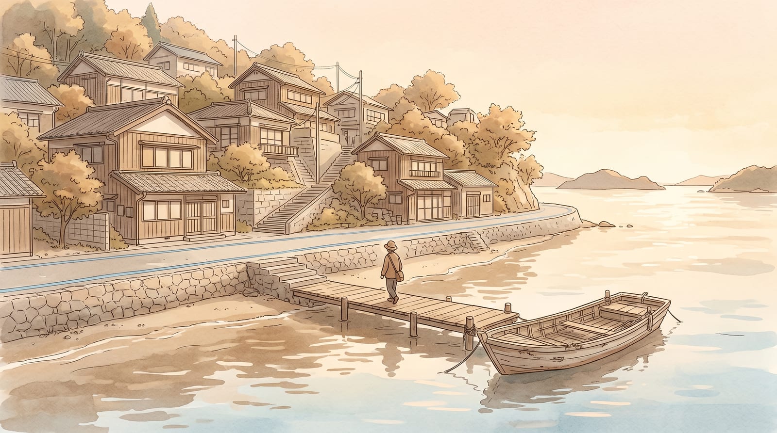
Kamikamagari, the largest island on the route, and the smaller Toyoshima have no major tourist infrastructure. The road runs close to the water, and on flat sections you can look directly down into the sea over the low seawall. In summer it is clear enough to see the bottom. A handful of vending machines and small roadside shops are scattered through the villages. Treat these as your primary water and snack stops: there is no guarantee of an open cafe.
Bridging Kamikamagari to Toyoshima is the Toyoshima Ohashi (豊島大橋, 903 m), locally nicknamed Abi Ohashi (アビ大橋) after the アビ (black-throated loon), Hiroshima's prefectural bird. It opened in November 2008 and is widely cited as the first suspension bridge completed in Japan in the 21st century. The view from the deck, down the channel toward open water, is the most dramatic mid-route vantage point between the opening Akinada Ohashi and the final crossing to Okamura.
Osaki Shimojima and the port town of Mitarai (大崎下島・御手洗)
The fourth island, Osaki Shimojima, holds the most rewarding stop on the route: the old port town of Mitarai (御手洗). From the 1660s, Mitarai was a tide-and-wind harbor where Kitamaebune trading ships waited out the currents of the Seto Inland Sea, and its Edo-period merchant streetscape survived intact enough to be designated a national Important Preservation District for Groups of Traditional Buildings in 1994. The Yutaka district tourism association keeps a rest stop here for cyclists. This is the natural place to get off the bike and walk for half an hour. Carry food from the mainland as a backup, since the town's cafes do not keep guaranteed opening days.
The village of Ōnaga (大長), now part of Kure City's Yutaka district on the island's southern end, is where Hiroshima's lemon industry traces its origin. In 1898 (Meiji 31), three lemon seedlings accidentally mixed into a navel-orange order from Wakayama were trial-planted here. By 1918 the grove had reached 11 hectares; by 2021 Hiroshima Prefecture accounted for roughly 51% of Japan's lemon production (4,401 tonnes of a national total of 8,660 tonnes). Ōnaga is the documented origin of Hiroshima's — Japan's leading — lemon cultivation. The better-known tourist lemon brand is on Ikuchijima on the Shimanami Kaido, but the foundational grove was here. By 1903, the first satsuma mandarin variety suited to the terraced hillsides (青江早生) had also taken root on the same slopes, and the "Ōnaga mikan" name spread nationally under the farming ethos "耕して天に至る" — cultivate until you reach the sky. The terraced hillsides visible from the road as you approach Mitarai are the product of that three-generation citrus effort.
Okamura Island (岡村島): the Ehime end
Okamura is where Hiroshima Prefecture ends and Ehime Prefecture begins — and the boundary is drawn on the bridge deck itself. The Okamura Ohashi (岡村大橋, 228 m) carries the prefectural border across its midpoint: a painted line marks the point where Kure City (Hiroshima) gives way to Imabari City (Ehime). Standing with one foot on each side is the route's standard "I was here" photograph. The island itself is small and quiet; most cyclists who reach it are here for the ferry rather than the island. The Sekizen ferry terminal at Okamura Port is the departure point for Imabari.
Can I connect to the Shimanami Kaido from here?
Yes. The Imabari City Sekizen ferry runs between Okamura Port and Imabari Port. The fare is ¥870 for an adult plus ¥190 for a bicycle, totaling ¥1,060 each way. Journey time is about 1 hour on the direct sailing, or about 80 minutes with stops. The ferry runs roughly 8 sailings a day (a mix of car-ferry and passenger-only sailings). No reservations. First come, first served. A Setouchi Cruise Pass gives a discount.
One scheduling detail can derail a plan: from April 2026 the car-ferry is suspended every Monday and Thursday (an indefinite change, so confirm the current timetable before you travel). The high-speed passenger boats still run as usual on those days and they carry bicycles too, so the crossing is still possible. If you are riding on a Monday or Thursday, plan around the passenger-boat timetable rather than assuming the car-ferry.
From Imabari you can pick up the Shimanami Kaido and ride northeast toward Onomichi, or catch the train back into Hiroshima from Imabari Station. This makes a genuine two-route loop possible: Hiroshima by train to Kawajiri, ride Tobishima to Okamura, ferry to Imabari, ride or take the bus into Onomichi, train back to Hiroshima. That loop takes two days minimum and requires accommodation in Imabari or on one of the Shimanami islands.
| Tobishima Kaido | Shimanami Kaido | |
|---|---|---|
| Route length | ~30 km (shortest) | ~70 km (full) |
| Bridge toll (bikes) | Free, all 7 bridges | Free until Mar 2028 (normally ¥500) |
| Traffic | Near-zero, 1 traffic light | Light, dedicated cycle paths |
| English support | Blue line only; very limited | Staffed terminals, maps, apps |
| Atmosphere | Working fishing villages, local | Tourism infrastructure, scenic |
| Best for | Quiet ride, Kure-based itineraries | Beginners wanting full support |
Sample itineraries
Quick Ride
Kawajiri to first 2–3 islands and back, from Hiroshima
- Depart Hiroshima Station, JR Kure Line direct to Aki-Kawajiri
- Arrive Aki-Kawajiri, collect rental bike at Cottage Kajigahama
- Start riding: cross Akinada Ohashi onto Shimokamagari
- Reach Kamikamagari, eat lunch at a vending machine rest stop or packed food
- Turn back toward Kawajiri (or continue and return by train from a mid-route station)
- Return bike, board train back to Hiroshima
Best Balance
Full Tobishima route: Kawajiri to Okamura and back
- Depart Hiroshima Station, JR Kure Line direct
- Arrive Aki-Kawajiri, rent an e-bike at Cottage Kajigahama
- Cross Akinada Ohashi, stop mid-bridge for the panorama
- Reach Mitarai on Osaki Shimojima for a lunch stop and a short walk
- Arrive Okamura Island, check the ferry timetable for return
- Begin ride back (or take the ferry to Imabari then train home)
- Return bike at Kawajiri; board train back to Hiroshima
Recommended
The Loop
Tobishima + ferry to Imabari + Shimanami start
- Day 1: Hiroshima to Aki-Kawajiri by train, ride the full Tobishima Kaido (~30 km), ferry from Okamura to Imabari (¥1,060 with bike), overnight in Imabari
- Day 2: Ride the first section of the Shimanami Kaido northeast toward Onomichi, or take the bus to Onomichi and train back to Hiroshima
- Stay: Rakuten Travel Hiroshima hotels for accommodation in Imabari or the Shimanami islands; book early in peak season (spring, autumn)
Practical tips for foreign riders
Navigation
The blue line painted on the road is continuous and reliable for the main route. Download offline maps before you leave the mainland; phone signal is inconsistent on the smaller islands. The navigation never requires more than following the blue line and the standard cycling signs at intersections.
English support
There is almost none. Road signs are in Japanese, the rental shop staff communicate with a mix of English words and goodwill, and the islands' restaurants and vending machines are Japanese-only. This is not a problem operationally. You do not need Japanese to follow a blue line. But it means getting information in advance (ferry times, shop hours, bike availability) requires either Japanese reading ability or a phone call before you leave.
Cash
Bring cash. The bike rental accepts cash, vending machines accept cash, and any island cafe or restaurant you might find will almost certainly be cash-only. There are no ATMs confirmed on the smaller islands, so carry enough for the whole day before you leave the mainland.
What to wear and carry
Sun protection matters more than terrain. The route is coastal, flat, and exposed; summer days (June-September) are hot and humid. A buff or sun sleeve adds more comfort than speed. Bring at least one liter of water per person from the mainland. The vending machines are adequate backup, but the midway islands may have stretches of 30-40 minutes with none. A small saddle bag for phone, cash, and snacks is enough.
Accessibility
The route is a standard road with no designated accessible facilities. The bridge ramps are gradual rather than steep, roughly 5-6% grade on most approaches, but they are not suitable for standard manual wheelchairs. The route is not recommended for riders who cannot manage a standard bicycle.
When to go
Spring (April-May) and autumn (October-November) have the most reliable weather and comfortable temperatures. Summer is rideable but hot; the views over the inland sea are sharpest in low humidity. Winter is possible but some island facilities close or reduce hours. The route is exposed, so check the wind forecast: westerly headwinds in summer are the main physical variable.
Combining Tobishima with a day in Kure
The Tobishima Kaido and Kure's city attractions are on the same train line but do not combine well in a single day. One of them will be rushed. Separate them into two days if you can: a rushed afternoon in Kure followed by a rushed half-ride is the worst of both.
If you only have one day in the area, choose based on what you came for. The Yamato Museum, the JMSDF submarine museum, and the naval curry restaurants are all within a five-minute walk of Kure Station and form a tight, walkable cluster. The cycling route requires a full day and a separate station. For the full Kure city itinerary, see our one day in Kure itinerary.
For another island day trip on the same JR Kure Line (further east, with a completely different character), Okunoshima (Rabbit Island) is worth comparing. We have a full guide to Okunoshima (Rabbit Island).
Islands and history: what you are riding through
The Seto Inland Sea islands in this part of Hiroshima and Ehime have functioned as way stations for boats and people since the pre-modern era. Mitarai on Osaki Shimojima, and the old ports of the Kamagari islands, were noted stops on the historical sea routes between Osaka, the feudal domains of western Japan, and the Korean peninsula. Stone merchant storehouses still visible on Kamikamagari date to this period, though the exact current condition and public access are best checked on site.
Kure itself became the central naval base of Imperial Japan from 1886, and the islands of the Aki-nada were support hinterland for that base, supplying fish, salt, and labor. The route does not have the kind of heavy military history that the Yamato Museum or the JMSDF open-ship program represents, but the coast and islands carry the quiet industrial and maritime density of that era. It is in the texture of the towns rather than in any specific exhibit.
The Akinada Ohashi itself is entirely modern, completed in 2000 as part of a regional infrastructure project. The steel stays and the gentle curve of the deck are the most visually dramatic thing on the route; most of the riding after it is deliberately unspectacular in the best possible way.
FAQ
How long does it take to cycle the Tobishima Kaido?
The full 30-31 km route from Kawajiri to Okamura Island takes about 3-4 hours of pedaling time on a standard bike, or 2-3 hours on an e-bike, not counting stops. Add 30-60 minutes for viewpoints, vending machine breaks, and the time to find your rhythm on the early bridges. Most riders doing the out-and-back in a day allow 5-6 hours on the bike plus the train journey.
Is the Tobishima Kaido suitable for children?
The road surface and low traffic make it a reasonable option for children who can confidently ride a standard bike. The bridges have gradual ramps rather than steep inclines. The main concern is the lack of facilities on the smaller islands: no dedicated rest rooms, limited shade, and no confirmed cafes on the shorter route. Children's bikes are available at Cottage Kajigahama (¥500 for 3 hours, ¥1,000 for 8 hours). Carrying enough water and food for the full riding party is more important here than on a well-serviced route.
Can I do the route without renting a bike at Kawajiri?
You can bring your own bike on the JR Kure Line using the rinko (輪行) method, disassembled and packed in a dedicated bike bag. This requires the right bag, the time to disassemble and reassemble at each end, and willingness to navigate the rural stations with a loaded bag. Most visitors use the trailhead rental. A HELLO CYCLING dockless share network exists in the wider region, but station coverage on these islands is limited and cannot be relied on for a route of this length.
What happens if it rains?
The route is fully open and exposed. There is no partial-rain option on the islands. If the forecast shows persistent rain, the sensible move is to reschedule for the Kure city museums, which are well sheltered. If you are caught mid-route in a light shower, the low-seawall roads offer no windbreak or cover. A packable waterproof jacket weighs almost nothing and removes most of the risk.
Is the ferry from Okamura to Imabari reliable?
The Sekizen ferry runs roughly 8 times a day and has been in operation for years. No advance booking is possible. Arrivals board in order. This is generally not a problem since the ferry is not a bottleneck most days, but check the last sailing time before committing to a late Okamura arrival. Missing the last ferry means an overnight on the island or a very long return ride.
What is the difference between the Tobishima Kaido and the Shimanami Kaido?
The Tobishima Kaido is shorter (~30 km vs ~70 km), quieter, and has no English-language cycling infrastructure beyond a painted road line and a single staffed rental shop. The Shimanami Kaido has purpose-built cycle paths, staffed rental terminals at every island, a well-documented English guide, and is one of the most internationally recognized cycling routes in Japan. If you want a supported, well-signed ride with options to bail out at any point, Shimanami is the more reliable choice. If you want the islands on their own terms, without the machinery around them, Tobishima is the answer.
Are there Meiji-era fortress ruins on these islands?
No. This is a common misdirection worth stating plainly. The well-preserved Geiyo Fortress (芸予要塞) gun batteries that appear in Japanese military-history sources are not on the Kure-side Tobishima islands. The documented sites are on Oshima island (小島) in the Kurushima Strait near Imabari — reachable only from Ehime, after crossing the Okamura ferry — and on Mikōyama (三高山) on Etajima, a separate island group south of Kure city. Nothing documented sits on Shimokamagari, Kamikamagari, Osaki Shimojima, or Okamura. What you will find on that first island instead is the Korean diplomatic history at Shōtōen — see above.
What is the lemon connection on this route?
The fourth island, Osaki Shimojima, is where Japan's leading lemon industry traces its origin. In 1898 three lemon seedlings accidentally mixed into a navel-orange order from Wakayama were trial-planted in Ōnaga village, and that accidental beginning grew into Hiroshima Prefecture's dominance: roughly 51% of Japan's lemons by volume in 2021. The tourist-facing "lemon island" is Ikuchijima on the Shimanami Kaido, but the foundational grove is on this route. You will not see a lemon shop on Osaki Shimojima the way you see them on Ikuchijima; what you will see is the terraced hillside landscape that three generations of citrus farming created.
Related guides
More in our Kure and Seto Inland Sea series:
- Best day trips from Hiroshima — the wider menu of Setouchi options, with this cycling route among them
- Hiroshima to Kure by train and ferry — transport options, timetables, and what to expect at each transfer
- One day in Kure itinerary — Yamato Museum, JMSDF submarine museum, and naval curry in a single day
- Okunoshima Rabbit Island guide — the darker history and the rabbits, from Hiroshima and Kure
- Etajima Naval Academy guide — the free guided tour of Japan's former naval officer training school
- Mt. Haigamine night view guide — Kure's recognized night-view summit and how to reach it (coming soon)
Last visited: 2026-06 | Enrichment research: 2026-07 | Author: Masayuki Ogasahara, Kure native and travel editor | Photographs are original unless credited otherwise; some include light AI-assisted post-processing for exposure, with the scene itself unchanged. Illustrations generated with AI (Gemini) using real reference photographs. This article contains affiliate links to JRPass.com, Klook, and Agoda. We may earn a small commission at no extra cost to you. All pricing and operational information was verified against official sources; confirm with operators before your visit as details can change.